D Boon Hut
/Map of D Boon Hut Hike (GPS can go wild due to the massive rock face along the entirety of the hike)
Elevation Profile of D Boon Hut Hike
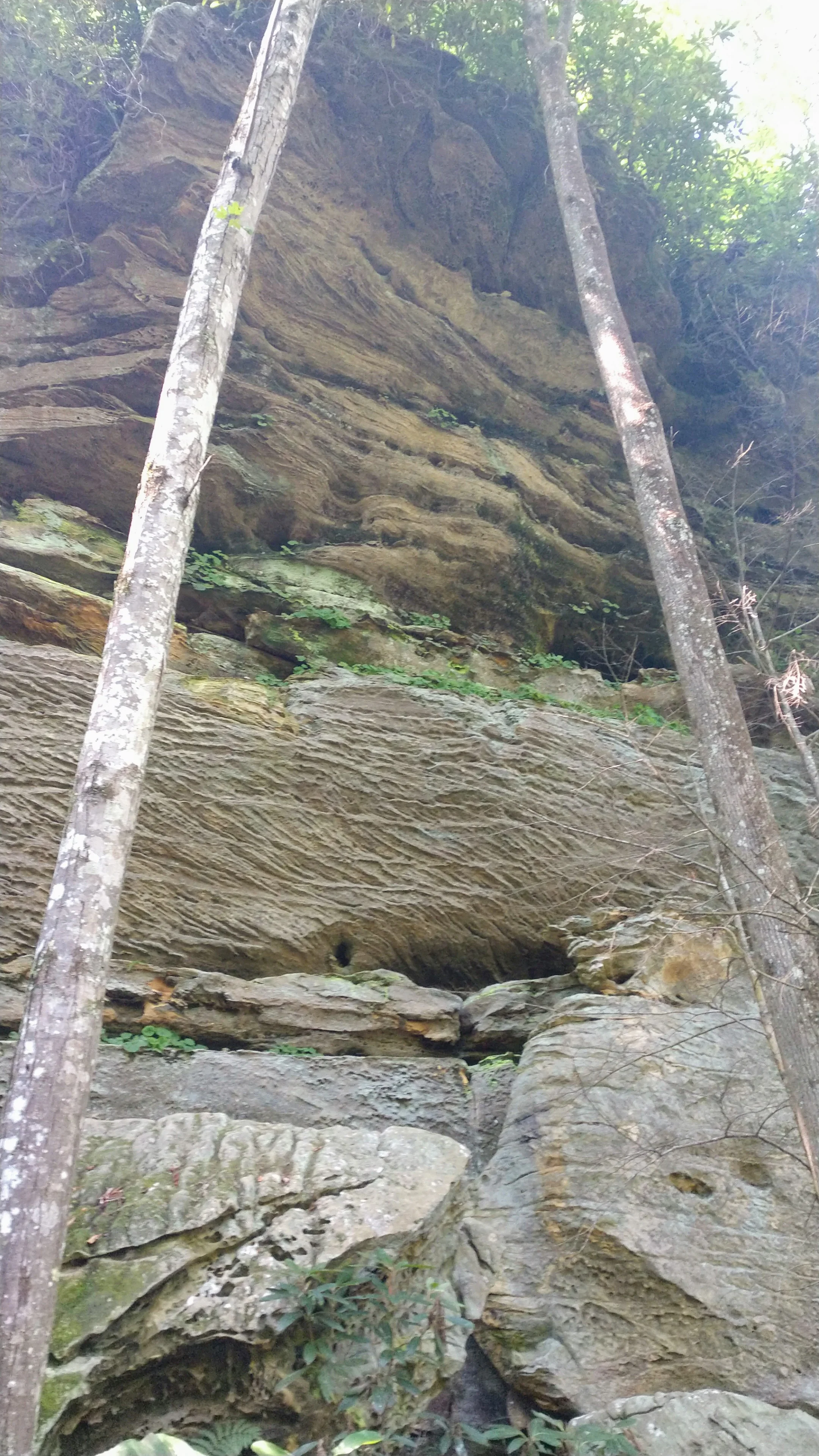
Overview. Pictures can never do this hike justice. While the reason for the trail are some remnants of a hut believed to be used by the legendary Daniel Boone, the beauty of this hike is in the shear enormity of the rock shelter under which the hut was built. It’s massive, and a great place to see the hardwood forest in all its grandeur.
Route Type | Out and Back
Total Distance | 1.4 miles
Overall Difficulty | Moderate
USDA Forest Service Map of D Boone Hut Trail
USDA Forest Service Map of Red River Gorge Area
Trailhead. Gray’s Arch Picnic Area is the best parking for this hike, but it was full on the day we hiked. We parked at Archaic which is just up the road and across the street. To reach Gray’s Arch Picnic Area, turn north onto Tunnel Ridge Road from KY-15. Follow it past a few parking lots, and it will be on the right. This trail begins at the far end of the picnic area. [map]
Trail navigation. This is a simple out and back with only two intersections. Be sure to stay left on the way out and right on the way back. So that’s left, left, turnaround, right, right:-)
CAUTION - Poisonous snakes. While the gorge is within the range of timber rattlesnakes, copperheads are the most common poisonous snake encountered. Stay alert on the trail, as snakes are commonly found taking in the warmth of the trail. Give them a wide berth or wait for them to move off the trail.
CAUTION - Bears. Black bears are growing in number throughout Daniel Boone National Forest. Be sure to follow bear safety precautions. [Be Bear Aware by US Forest Service]


