Rough Trail Out and Back
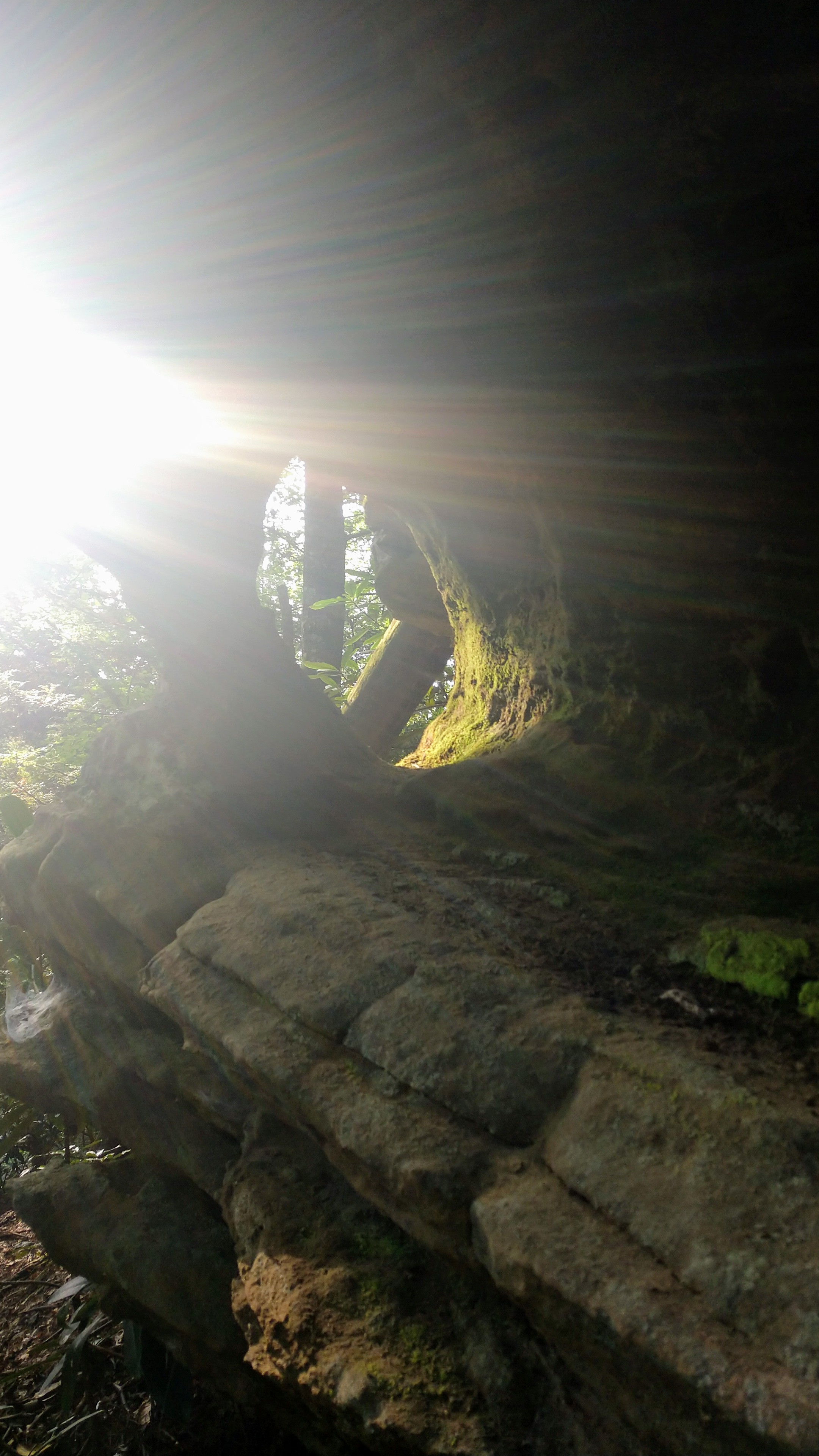
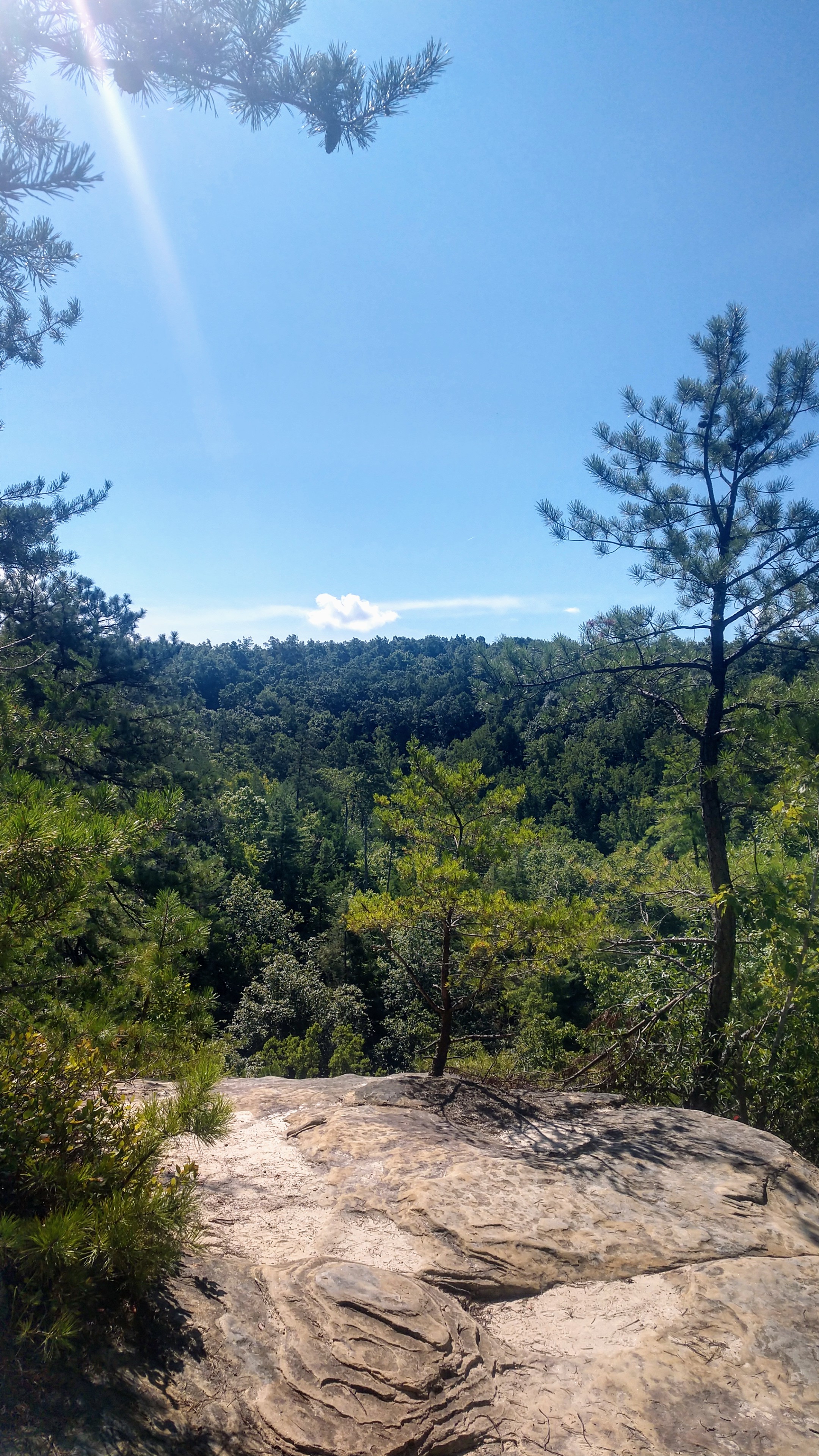
/Overview. This is the most difficult trail in Red River Gorge featuring near constant elevation change. While challenging, hiking this trail delivers an amazing tour of the area’s trademark geology of massive rock shelters, beautiful outcroppings, and dazzling boulders. My favorite rock on the planet sits trailside - you’ll know it when you see it.
Rough Trail also provides backpackers with seemingly limitless options for exploration including Gray’s Arch, Hanson’s Point, D. Boon Hut, and much more. With plenty of backcountry campsites along the route - you’re never far from camp - and the trail is rich with water sources all along the way. Ready your pack, pick-up a permit, and get out there!
Route Type | Out and Back
Total Distance | 15.66 miles
Overall Difficulty | Strenuous
Rough Trail Map from USDA Forest Service
USDA Forest Service Map of Red River Gorge Area
Trailhead. I hiked this starting from the trailhead on KY-715 that marks the crossover with Swift Camp Creek. This parking lot is typically less crowded than at Martin’s Fork on the opposite end, and if hiking Swift Camp Creek on your trip, this puts your car in the middle where you can leave some resupply to lighten your load. [map]
Trail navigation. The trail is well marked and easy to follow with plenty of blazes and trail signs. The trail can be lost momentarily at a couple of large rock shelters, but a little walking will get you back on track.
Gray’s Arch. A no-brainer addition, Gray’s Arch is just off Rough Trail and a short, steep hike to one of the most famous arches in Kentucky. [more]
Hanson’s Point. Another must-add to your exploration of Rough Trail is the unmarked trail to Hanson’s Point where you’ll enjoy some of the best views in the Red. This adds a few flat miles to the hike and is worth the extra time. There are a number of large campsites along the route for backpackers. [more]
D. Boon Hut. Under what might be the largest rock shelter in the area are remnants of a hut that had “D. Boon'“ carved into it. This is suspected to be carved by Daniel Boone, but who knows. It’s worth adding some mileage to visit, as the rock shelter is beyond impressive. [more]
Swift Camp Creek to Creation Falls. You can double your hiking pleasure by crossing over to Swift Camp Creek and following the trail all the way down to Creation Falls past Rock Bridge. This is much tamer than Rough Trail and can serve to fill out a backpacking weekend in the Gorge. There are a good number of campsites along the creek. [more]
Point-to-Point. If you’re hiking with friends, this makes for a great point-to-point hike. Drop off cars at Martin’s Fork and KY-715 (7.83 trail miles) or go the full Monty by leaving cars at Martin’s Fork and Rock Bridge (16 trail miles).
CAUTION - Cliffs. Be careful to avoid getting too close the edge of cliffs, as this is the leading cause of serious injury and death when hiking in Red River Gorge.
CAUTION - Poisonous snakes. While the gorge is within the range of timber rattlesnakes, copperheads are the most common poisonous snake encountered. Stay alert on the trail, as snakes are commonly found taking in the warmth of the trail. Give them a wide berth or wait for them to move off the trail.
CAUTION - Bears. Black bears are growing in number throughout Daniel Boone National Forest. Be sure to follow bear safety precautions. [Be Bear Aware by US Forest Service]


