Cumberland Falls Overlooks Loop
/Map of Cumberland Falls Overlooks Loop, Cumberland Falls State Resort Park, Whitley County, KY
Elevation Profile of Cumberland Falls Overlooks Loop, Cumberland Falls State Resort Park, Whitley County, KY
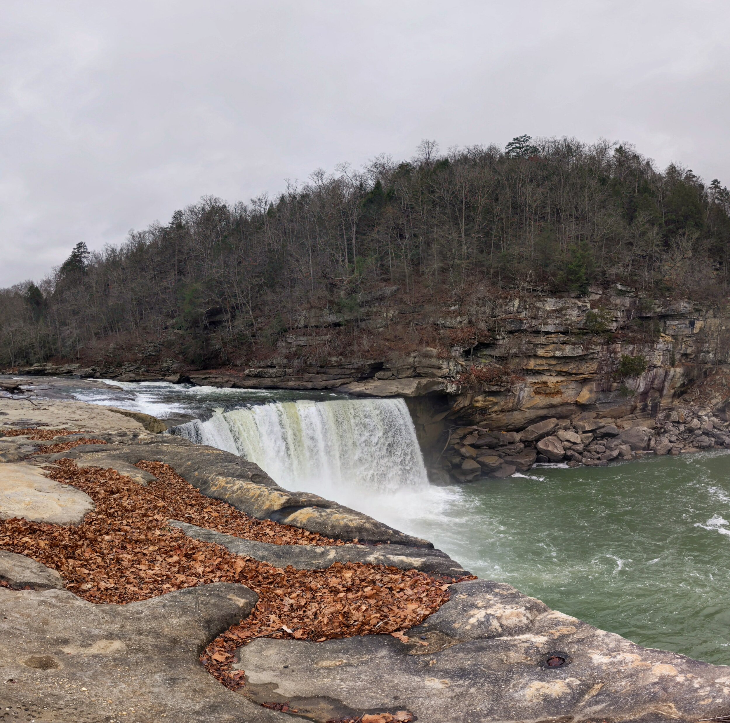
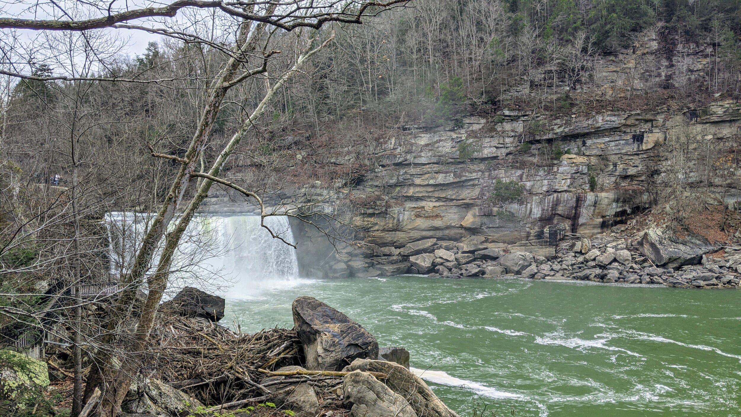
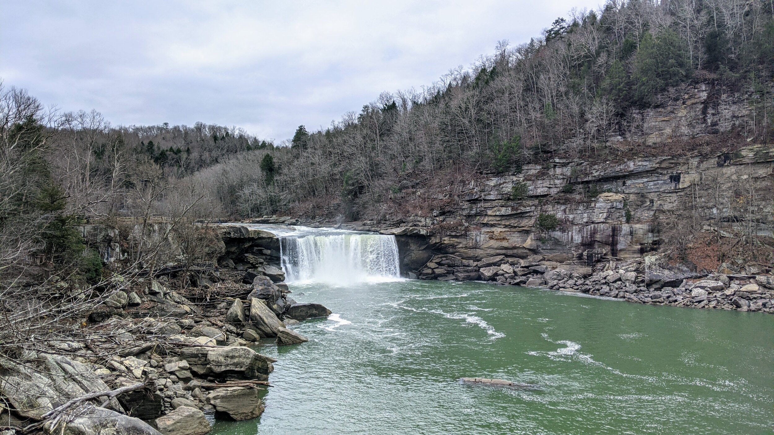
Overview. This is a must-visit for anyone hiking Kentucky. Known as the Niagra of the South, Cumberland Falls is a gorgeous, powerful waterfall and has all the overlooks to go with it;-) Here are the four developed viewing platforms on the Whitley County side of the river. More views can be had across the river from Eagle Falls Trail.
Route Type | Loop
Total Distance | 0.6 miles
Overall Difficulty | Easy
Map of Cumberland Falls State Resort Park
GPS Waypoints
Trailhead | 36.837636, -84.343597
Overlook #1 | 36.839036, -84.344469
Overlook #2 | 36.839006, -84.344339
Overlook #3 | 36.839619, -84.343828
Overlook #4 | 36.840311, -84.343453
Trailhead. Ample parking is available at the trailhead - just take care when exiting due to limited sight distance. [map]
Trail navigation. The trail is entirely paved and an easy walk. Just follow along the river to reach the overlooks and circle back on the handicap accessible walkway a little further from the river.
CAUTION - Poisonous snakes. Timber rattlesnakes and copperheads can be found in the region. Stay alert on the trail, as snakes are commonly found taking in the warmth of the trail. Give them a wide berth or wait for them to move off the trail.
CAUTION - Bears. Black bears are growing in number throughout Daniel Boone National Forest. Be sure to follow bear safety precautions. [Be Bear Aware by US Forest Service]
Cumberland Falls Trailhead, Cumberland Falls State Resort Park, Whitley County, KY
Cumberland Falls from Overlook #1, Cumberland Falls State Resort Park, Whitley County, KY
Cumberland Falls from Overlook #2, Cumberland Falls State Resort Park, Whitley County, KY
Cumberland Falls from Overlook #3, Cumberland Falls State Resort Park, Whitley County, KY
Cumberland Falls from Overlook #4, Cumberland Falls State Resort Park, Whitley County, KY


