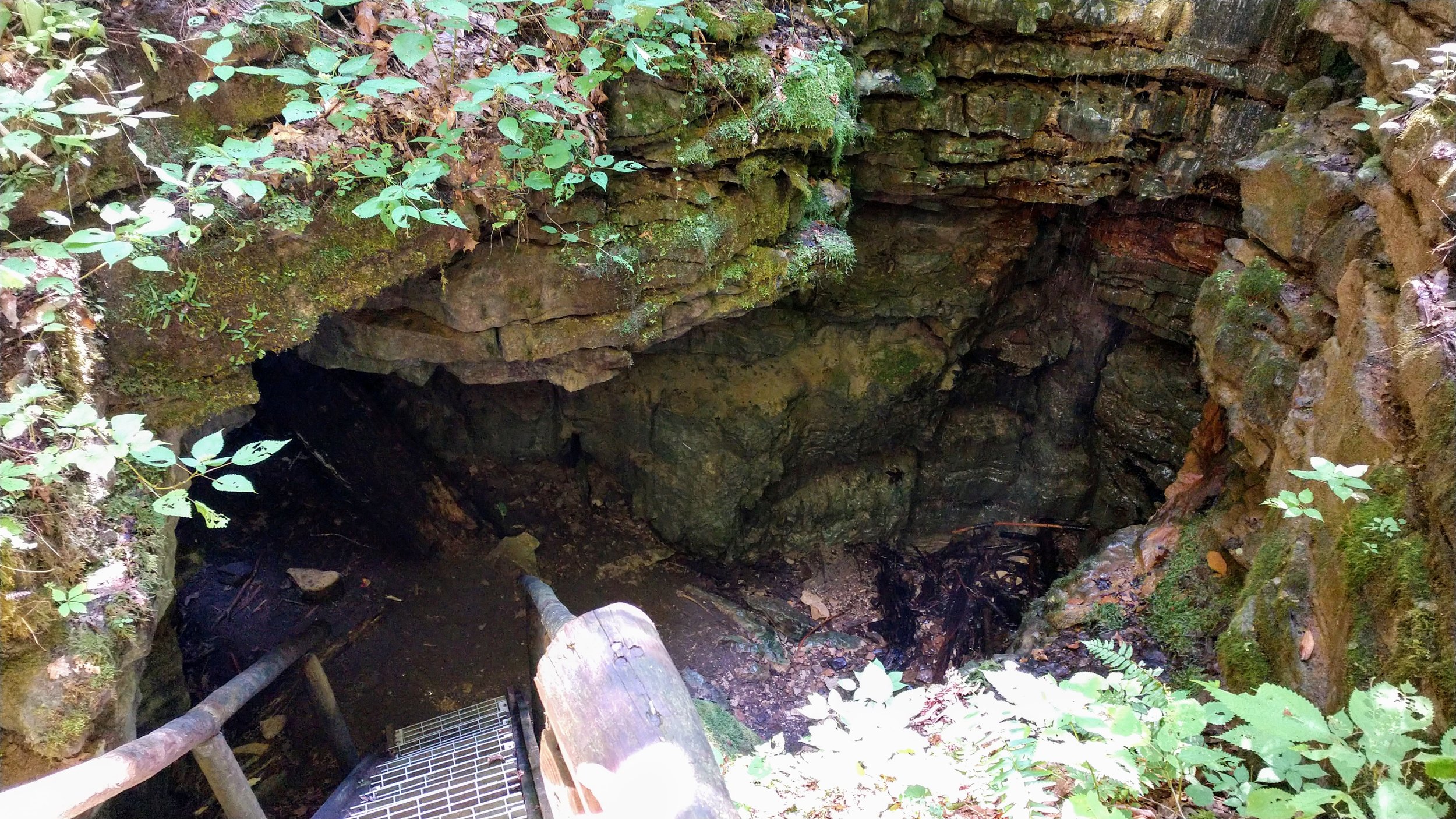
Henson's Arch
/Map of Henson’s Arch Hike
Elevation Profile of Henson’s Arch Hike
Overview. This might be the best summertime hike in Red River Gorge. Henson’s Arch, sometimes called Henson’s Cave Arch, is formed by a pair of holes in the ground that connect at the bottom forming the arch. It’s deep enough and wet enough to deliver that cave feel and is the best place to cool off on hot summer days.
Route Type | Out and Back
Total Distance | <1 mile
Overall Difficulty | Moderate
Natural Bridge State Park Map from KY State Parks
Trailhead. This hike begins in the Whittleton Campground parking lot directly across from Natural Bridge State Park. Do NOT park at any of the campsites. [map]
Trail navigation. Head northeast from the visitors lot and turn right toward the showers. You’ll see the trailhead just past a few campsites on the east side of the campground. From here, you’ll have a decent climb (~180 ft. elevation gain) over a short span along well traveled trail. About 4/10ths of a mile up the hill, you’ll see the top of a staircase that descends to Henson’s Arch. Retrace your steps to return to the trailhead.
Add Whittleton. While you’re there, explore Whittleton Branch and checkout Whittleton Arch along the way. These are great hikes for kids who always have a great time playing in creeks.
Dogs allowed. Natural Bridge State Park does NOT allow dogs on its trail system except at Whittleton and Henson’s.
CAUTION - Poisonous snakes. While the gorge is within the range of timber rattlesnakes, copperheads are the most common poisonous snake encountered. Stay alert on the trail, as snakes are commonly found taking in the warmth of the trail. Give them a wide berth or wait for them to move off the trail.
CAUTION - Bears. Black bears are growing in number throughout Daniel Boone National Forest. Be sure to follow bear safety precautions. [Be Bear Aware by US Forest Service]


