
Star Gap Arch
/
Star Gap Arch from the northwest
Overview. This is a short ridgeline hike on unmarked trails that provides a pair of beautiful vistas and a visit to one of the largest arches in Red River Gorge - Star Gap Arch. It's an easy hike with the only challenges being route navigation and a short scramble. We managed it with a group of 13 kids/young adults ranging in age from 15 to 20.
Route Type | Out and Back
Total Distance | 3.7 miles
Overall Difficulty | Easy
Purchase OutrageGIS Trail Map
USDA Forest Service Map of Red River Gorge
*This hike is unmarked; experienced hikers only*
Trailhead. Parking is available at the Auxier Ridge Trailhead and along Tunnel Ridge Road. [map]
Trail navigation. From the Auxier Ridge Trailhead parking lot, head southwest to the circle. Find the trailhead for this hike at the Forest Service gate on the northern portion of the circle. Begin your hike by moving north and then west along the old roadbed.
At mile 0.6, turn left (west/south) to take a wide, unmarked trail. Stay on the well worn trail and continue south, then west, before moving south once more. At mile 1.0, turn right (north) to take the ridge toward Star Gap Arch.
Nearly two-tenths of a mile up the ridge, you'll walk on top of Star Gap Arch where the ridgeline narrows and the trees give way to exposed rock underfoot. Take a few moments here to take in the vistas to the east and west.
Continue up a section of trail that is less frequently traveled first by taking the fork to the right at mile 1.3 out to the edge where some partial views are available at the end of the trail. Retrace your steps to continue further out on the ridgeline to another partial view at mile 1.5. These views are much improved during the winter months.
Return the way you came and find the easiest trail down to Star Gap Arch at mile 1.9. To be clear, there is some exposed rock that you can slide down or you can take the easier route about 20-30 feet further south on the trail. AVOID sliding down the exposed rock when rain or ice is present, as a steep cliff is only a step past the exposed rock.
Once off the ridgeline, follow the narrow trail north to Star Gap Arch and feel free to explore the areas to the northwest and southeast. Trails leading down and around the ridge to the southeast are available for exploration.
CAUTION - Unmarked Trail. This is an unofficial trail with no markings and several side trails that can make route finding more difficult. A number of maps are available with this trail including on Alltrails.
CAUTION - Inappropriate for Young Children. While this is an easy hike, the descent to Star Gap Arch is a little tricky and could pose problems for young children.
CAUTION - Bears. Black bears are growing in number throughout Daniel Boone National Forest. Be sure to follow bear safety precautions. [Be Bear Aware by US Forest Service]

Map of Star Gap Arch hike

Elevation profile of Star Gap Arch hike

Panoramic vista above Star Gap Arch
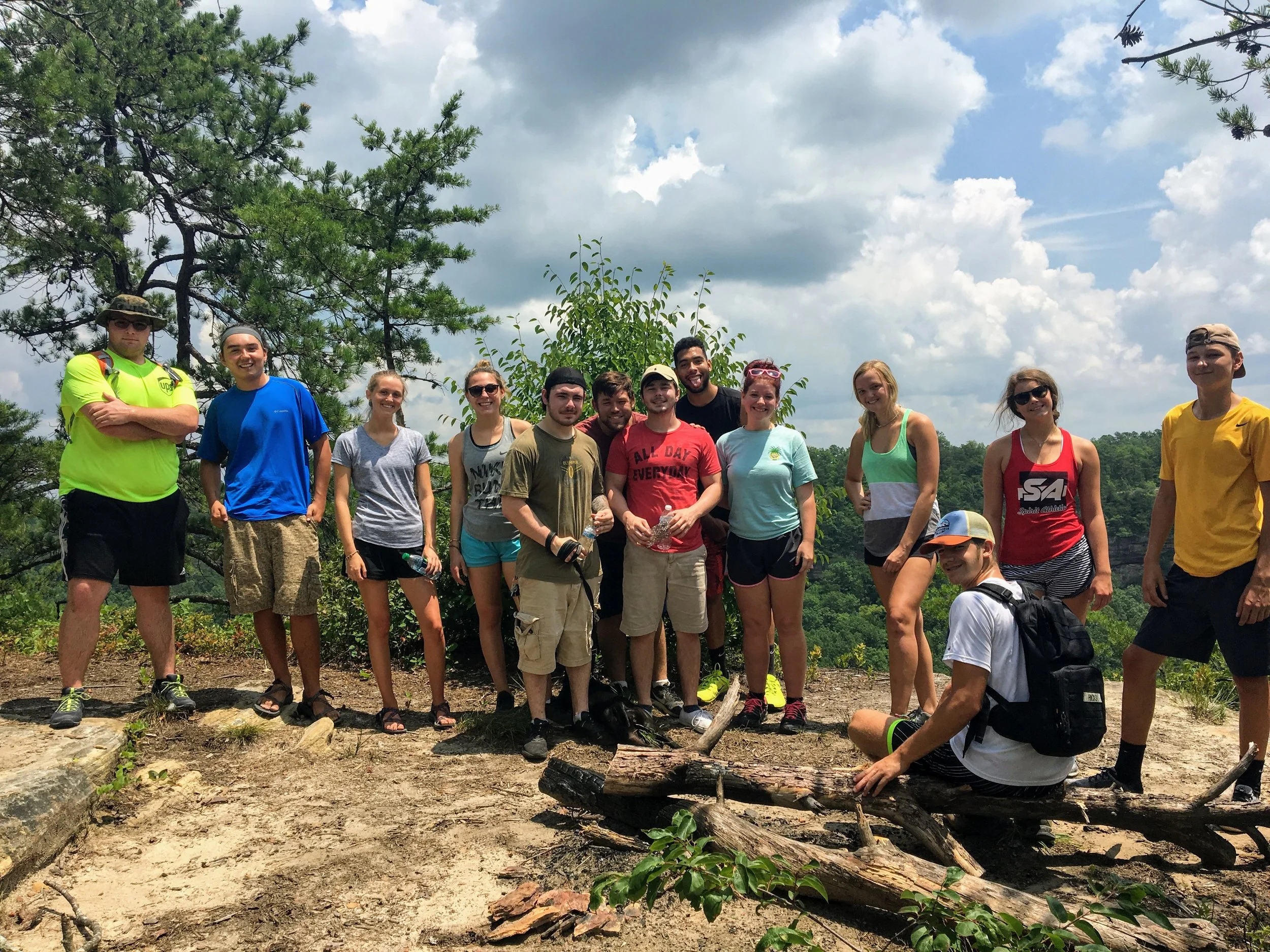
All the kids and Leia atop Star Gap Arch

Star Gap Arch from the southwest