Sunset on Auxier Ridge
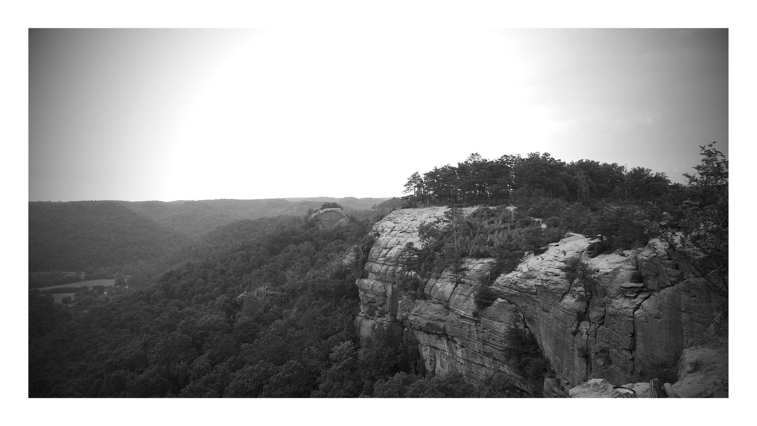
/A panoramic view with amazing clouds on Auxier Ridge
Overview. Of all the hikes I’ve done, this is among the most memorable. It was our first sunset on Auxier Ridge, and we got super lucky with the clouds. Having been overcast for nearly the entire day, the sun broke below the clouds and above the next ridgeline - providing a spectacular sunset!
Route Type | Out and Back
Total Distance | 3.6 miles
Overall Difficulty | Easy
USDA Forest Service Trail Map
USDA Forest Service Map of Red River Gorge Area
Trailhead. From KY-15, turn onto Tunnel Ridge Road and follow it to its end. [map]
Trail navigation. This is an easy out and back, as you'll stay on the ridgeline throughout the hike and few side trails exist. Follow the trail out to mile 1.65 for the first large rock outcropping or 1.8 for the second, larger outcropping. Retrace your steps back to the trailhead.
Running it in. With a fit crew, we opted to run it in and had just enough light to get it done. We stopped at the first large outcrop, so 1.6 miles in about 22 minutes wasn’t bad at all.


