Sky Bridge
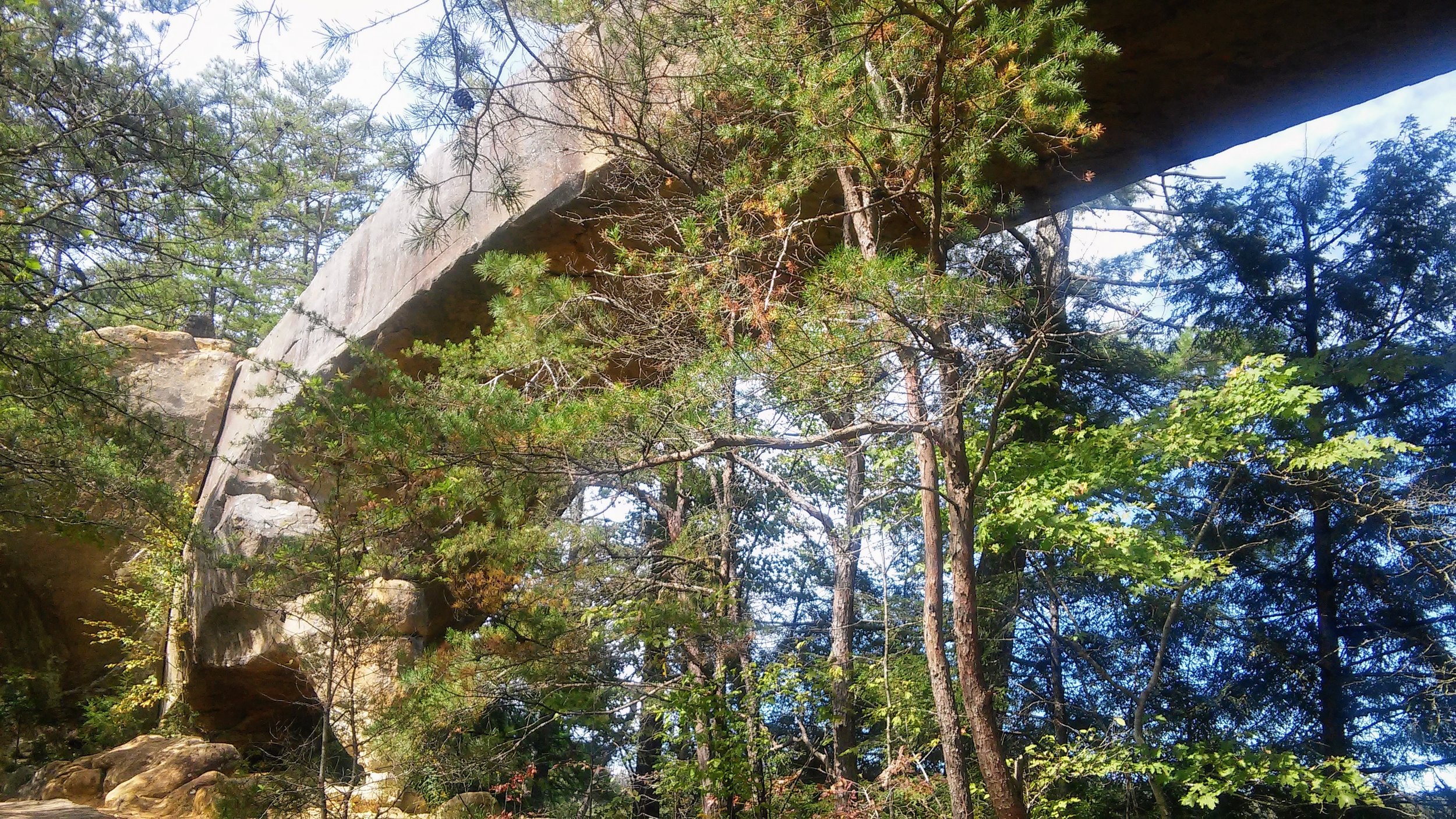
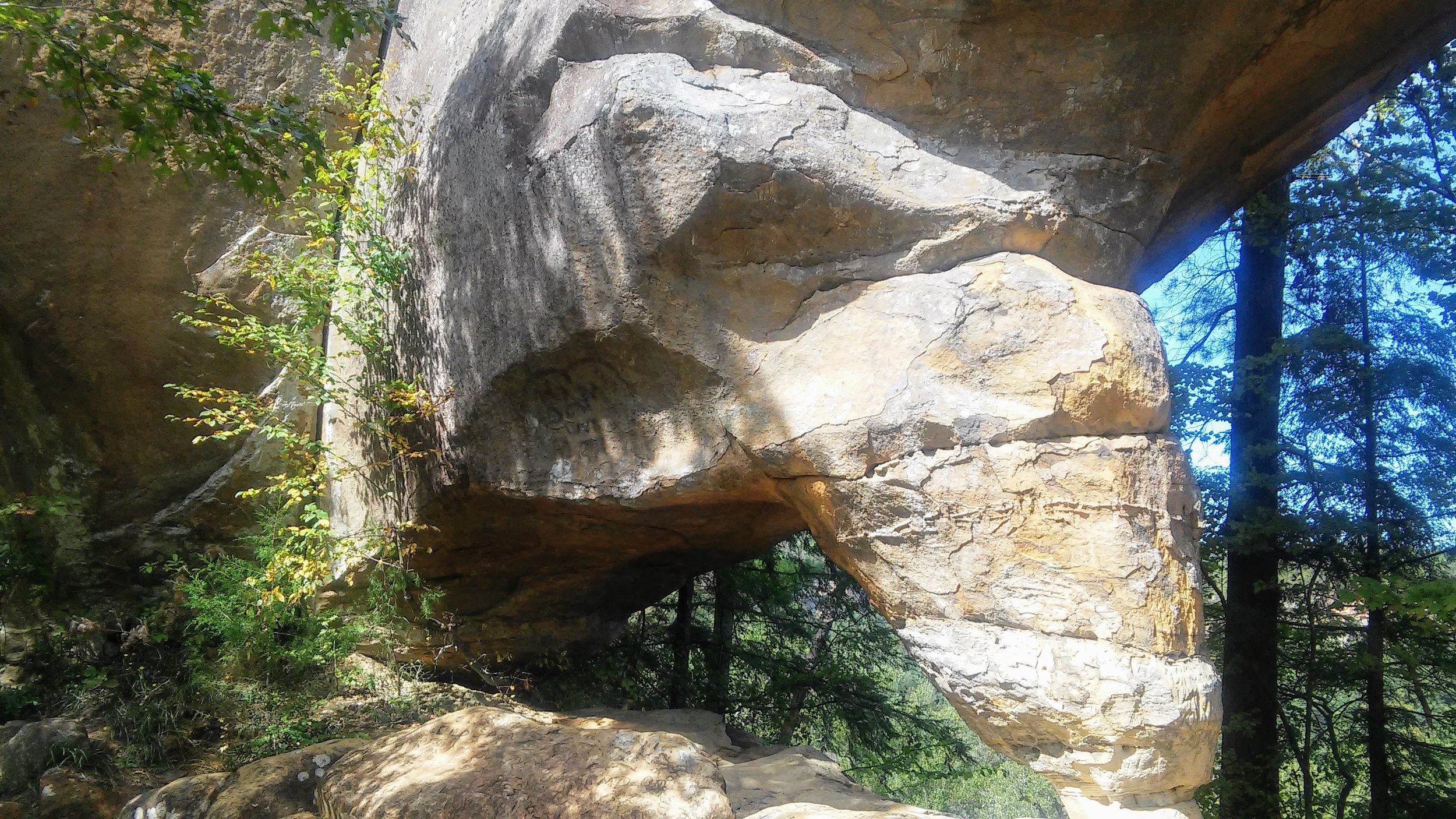
/Overview. This is a short, but sweet hike where you can explore a double arch and take in a number of expansive views. It makes a great ‘drive-up’ hike and with the picnic area nearby, a nice place to take lunch and relax. If you’re in the Gorge, this is a no-brainer hike to add to the list.
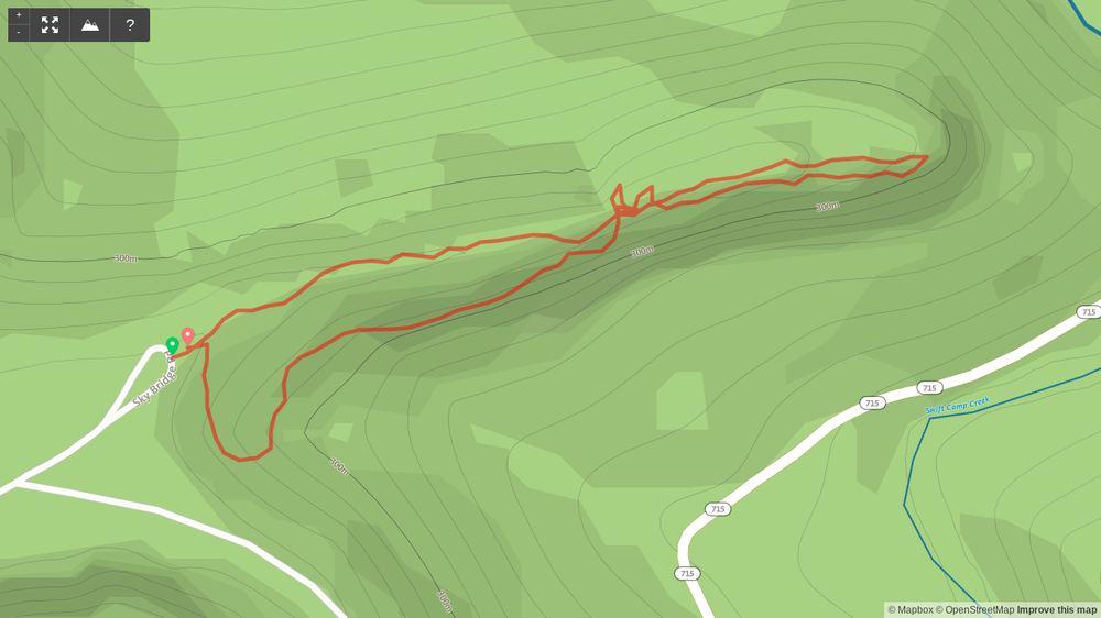
Route Type | Loop
Total Distance | 0.7 miles
Overall Difficulty | Easy
USDA Forest Service Map of Red River Gorge Area
Trailhead. The trailhead is located at the end of the gravel drive off Sky Bridge Road (KY-715). [map]
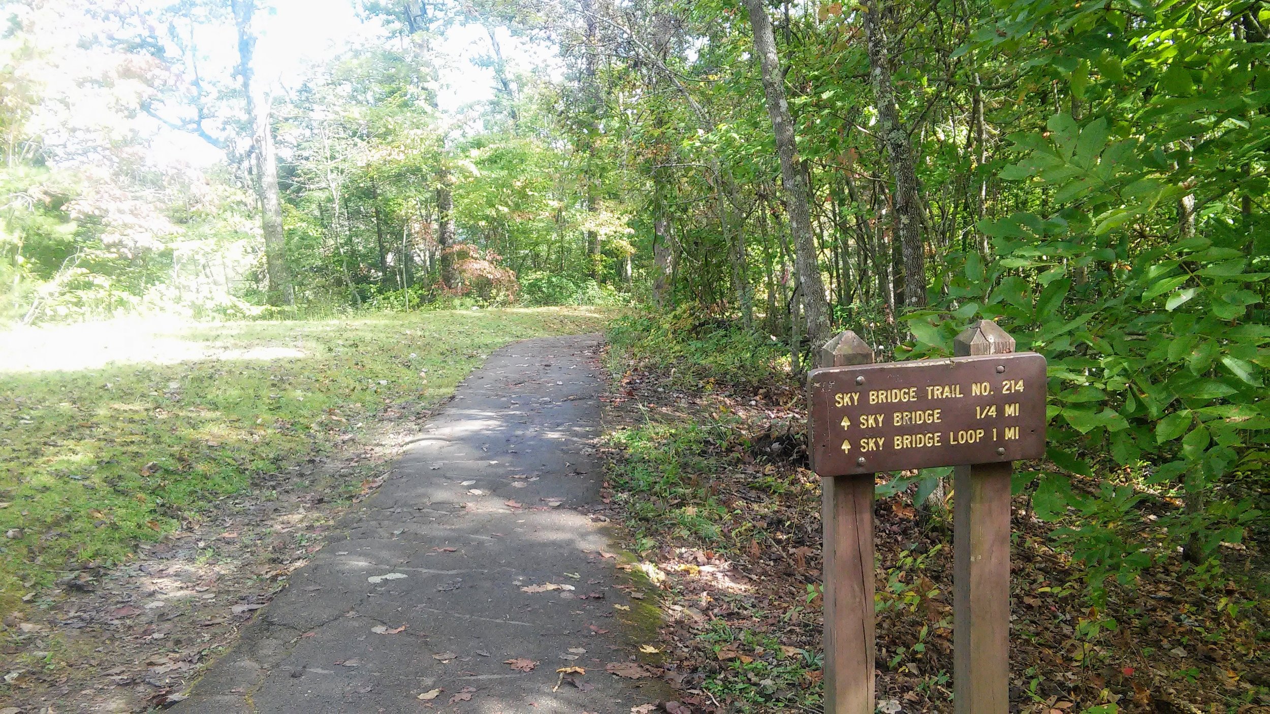
Trail navigation. The trail is well marked and paved in most sections.
Avoiding the crowds. This hike can be very crowded at times. If you want to take a shot at some solitude, come early or late on the weekends (sunrise, sunset) or visit during the week. We had this area all to ourselves on a Monday morning just after sunrise.
Counterclockwise is easier. You can hike this counterclockwise instead which makes it a little easier by going down the steepest section instead of up. All you have to do is take a right in front of the trail sign to start.
Picnic area. Just short of the trailhead is a nice picnic area where you can sit and take in lunch or dinner. With several viewpoints both on Sky Bridge Trail and on Sky Bridge Road, you can spend a few hours here exploring the ridge and finish with a nice meal.
CAUTION - Cliffs. Be careful to avoid getting too close the edge of cliffs, as this is the leading cause of serious injury and death when hiking in Red River Gorge.
CAUTION - Poisonous snakes. While the gorge is within the range of timber rattlesnakes, copperheads are the most common poisonous snake encountered. Stay alert on the trail, as snakes are commonly found taking in the warmth of the trail. Give them a wide berth or wait for them to move off the trail.
CAUTION - Bears. Black bears are growing in number throughout Daniel Boone National Forest. Be sure to follow bear safety precautions. [Be Bear Aware by US Forest Service]

